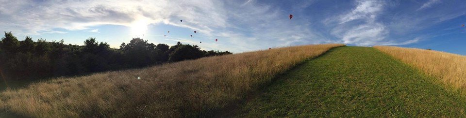

The Northern Slopes are a wild and beautiful area of South Bristol made up of four areas of green space between Knowle, Bedminster and Knowle West. They are a nature reserve where people and wildlife can thrive.
Finding The Northern Slopes
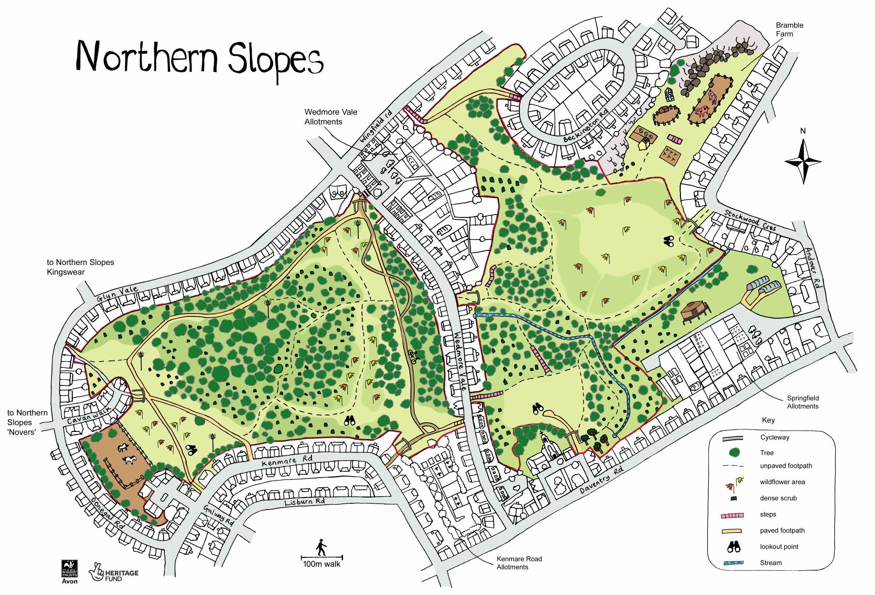
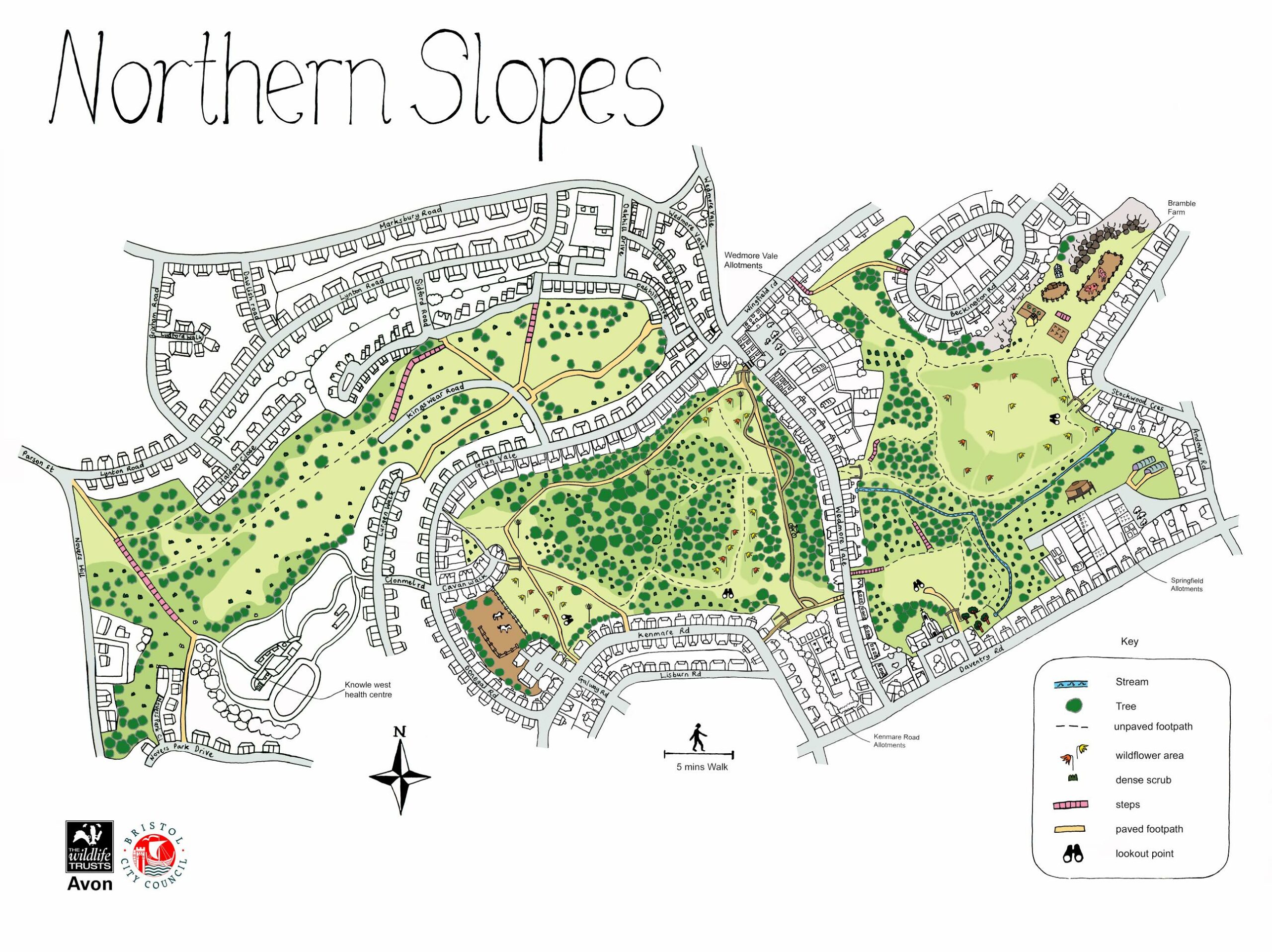
The Slopes are shown on the map below. From left to right (West to East) the areas are known as Novers Common/Novers, Kingswear, Glyn Vale and Wedmore Vale (The Bommie), although local people may use the other names. Below is a link to a digital map which uses Google Maps; and two A4 sized maps. Map 4 covers The Bommie and Glyn Vale. Map 2-3 the whole of the Slopes.
History of The Northern Slopes
The Northern Slopes were originally open farmland. In the early 20th century the Novers was part of a rifle range. After World War One much of the area became housing.
During World War Two most of the Slopes were converted to allotments, but some areas were left unchanged. During this time the Bommie gained its name from the bombs that were dropped there. “Satan” a German bomb dropped on nearby houses in January 1941 weighed 2,000 kilograms (4,400 lb). It did not explode. It was paraded through the streets of London during the VE Day Victory Parade in 1945.
Since then the Slopes have been left to go their own way to become the green spaces we love.